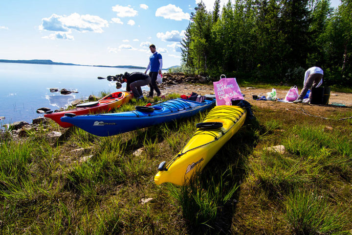
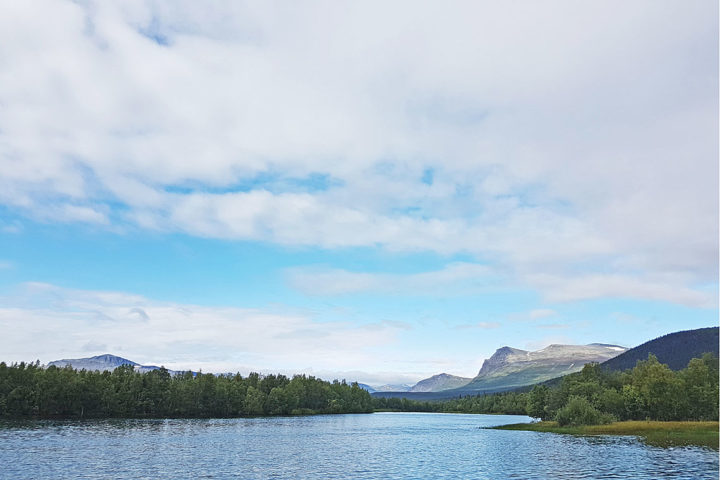
A paddle route along the river valley from Jokkmokk’s woodlands in the east to the beautiful Kvikkjokk mountains in the west. In Kvikkjokk many hiking trails starts which is perfect if you like to continue on a hiking tour, for example along the King’s Trail – Kungsleden.
Small villages are situated around the lakes and settlers has lived here since the beginning of the 1600 century. Sámi people already were already here and lived from reindeer keeping, hunting and fishing. If you go further back in time there is ancient remains from 6000 year old hunting societies. This is a wilderness area with a changing and living culture since ages ago.
This paddle route is a suitable tour for you who like to experience the wilderness of Swedish Lapland without feeling all alone. You can paddle for days without seeing anyone but you are not far away from help if you should need it. There is mobile phone coverage on several places along the river valley but not everywhere.
Most people use 5-7 days on this paddle route.
You need 3 maps for this route and they are called: Vägkartan 170 Jokkmokk, Vägkartan 173 Gällivare and Fjällkartan BD11 Tjåmotis.
For information about fishing regulations and fishing permits: www.natureit.se
Stage 1: Purkijaure
Most people start the tour by Brändön. The lake is shallow and during the warmer periods of the summer the water temperatures often go up to +25?C. There are many nice camping spots around Purkijaure. The lake is also a good option for easier family and children tours.
Stage 2: Randijaure
After paddling over Purkijaure lake you shall take up the canoe/kayak in Gladvik (see the map). From here you walk the small gravel road up to the Randijaure lake. Put in the canoe/kayak on the west side of the water dam. Do NOT paddle close to the dam because strong currents appears when the dam hatches open and close.
Randijaure is a big lake and as all big lakes in Lapland high waves can appears when it’s windy. By hard north or northwest winds you shall stay on shore and wait until it’s settle down. Usually it calms down in the evening and nights.
Stage 3: Parkijaure
After canoeing on Randijaure lake you have a portage and lift up the canoe/kayak on the north side just below the dam. After putting your canoe on the cart you walk the small road (see map) up to Parkijaure. Do NOT paddle close to the dam because of the strong currents that appear when the dam hatches open and close.
Stage 4: Skalka and Tjåmotisjaure
A longer distance along narrow and long lakes. You see the mountains in the west and on the north side of the lakes is the official road to Kvikkjokk. For the most wilderness feeling we recommend you to follow the south shore. Watch out for big stones hiding just below the water surface!
Stage 5
After Stage 4 you lift up the canoe/kayak in the bay on the north side before the small village called Njavve. Here you come close to the Kvikkjokk road and the portage with a canoe cart is easy (see the map). Do NOT paddle the distance between Saggat and Tjåmotisjaure if you are not very experienced and know how to read whitewater and have the necessary equipment for whitewater paddling. We don’t recommend anyone to paddle in these rapids.
Lake Saggat is the last lake before final destination in Kvikkjokk. On the north shore of the lake you find Årrenjarka Mountain Lodge . Here you can rent a cabin, eat in the beautiful restaurant and do some shopping in the small store.
In the west end of lake Saggat you find the small village Kvikkjokk. Kvikkjokk have a beautiful delta landscape and it’s nice to just float around in your canoe. Kvikkjokk Mountain Station is situated here for those who like to spend a night or two in a comfy bed.
